

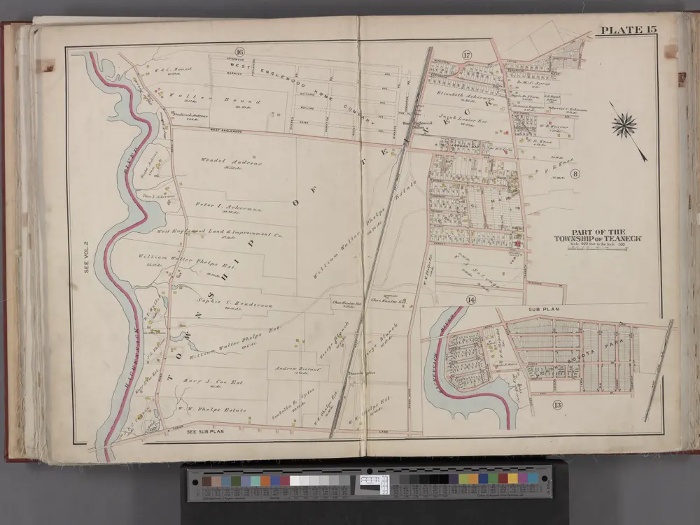
Bergen County, V. 1, Double Page Plate No. 15 [Map bounded by Washington Ave., Tryon Ave., Cedar Lane, Hackensack River] / by George W. and Walter S. Bromley.
1912
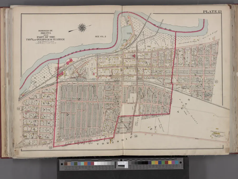
Bergen County, V. 1, Double Page Plate No. 13 [Map bounded by Hackensack River, North St., Queen Anne Rd., Hackensack Ave.] / by George W. and Walter S. Bromley.
1912
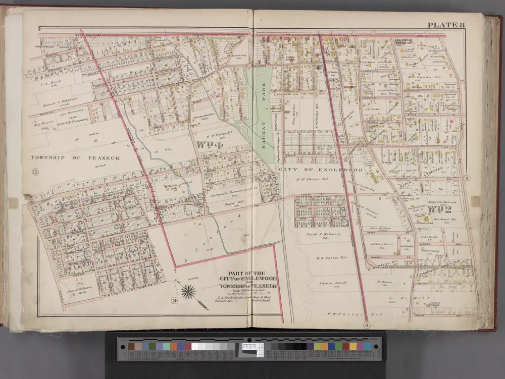
Bergen County, V. 1, Double Page Plate No. 8 [Map bounded by W. Palisade Ave., Dana Pl., Broad Ave., Teaneck Rd.] / by George W. and Walter S. Bromley.
1912
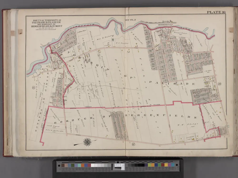
Bergen County, V. 1, Double Page Plate No. 16 [Map bounded by Hackensack River, Madison Ave., Prospect Ave.] / by George W. and Walter S. Bromley.
1912
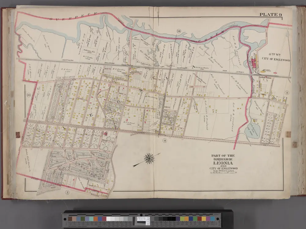
Bergen County, V. 1, Double Page Plate No. 9 [Map bounded by Overpeck Creek, Cedar Lane, Phelps Ave., Broad Ave., Borough Blvd., Oakdene Ave.] / by George W. and Walter S. Bromley.
1912
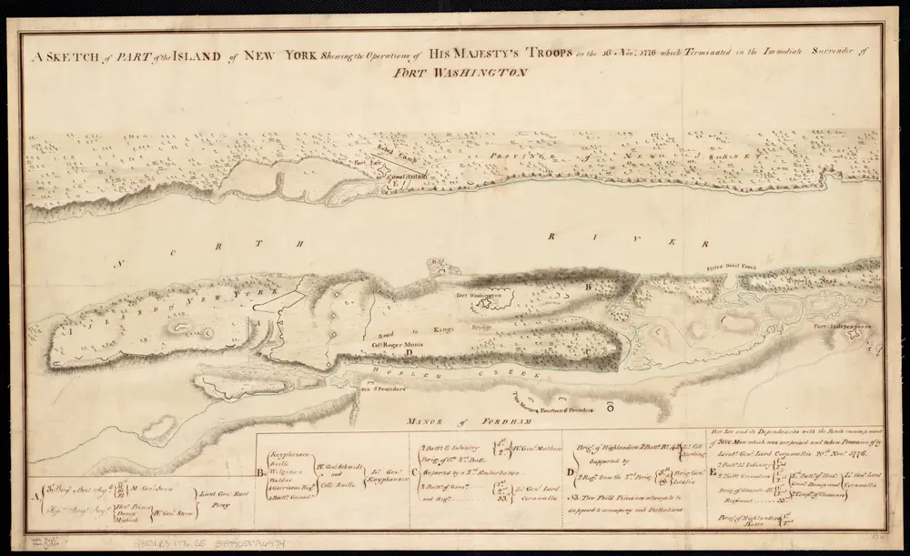
A sketch of part of the Island of New York shewing the operations of His Majesty's troops in the 16 Novr. 1776 which terminated in the immediate surrender of Fort Washington
1776
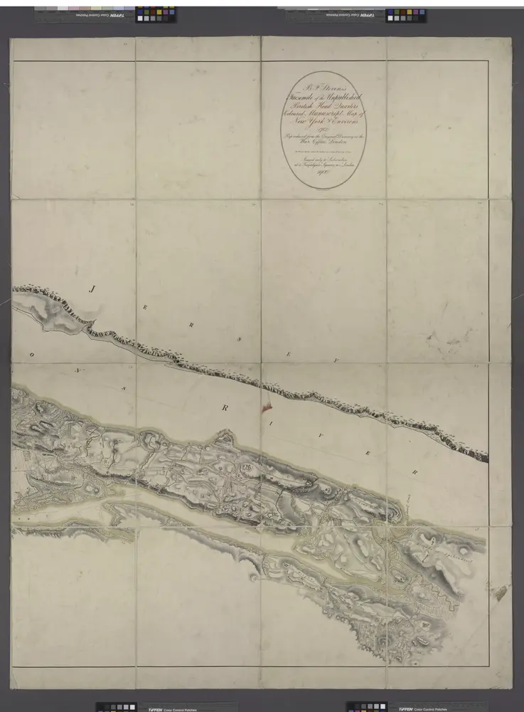
Facsimile of the unpublished British head quarters coloured manuscript map of New York & environs / reproduced from the original drawing in the War Office, London.
1782
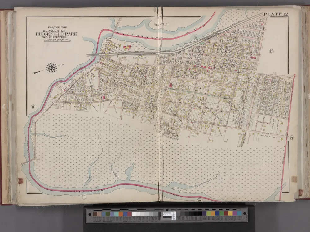
Bergen County, V. 1, Double Page Plate No. 12 [Map bounded by Hackensack River, Hackensack Ave., Township of Teaneck, Overpeck Creek] / by George W. and Walter S. Bromley.
1912

Composite: Topographical Atlas Of The City Of New York
1874
Viele, Egbert L.
1:12k
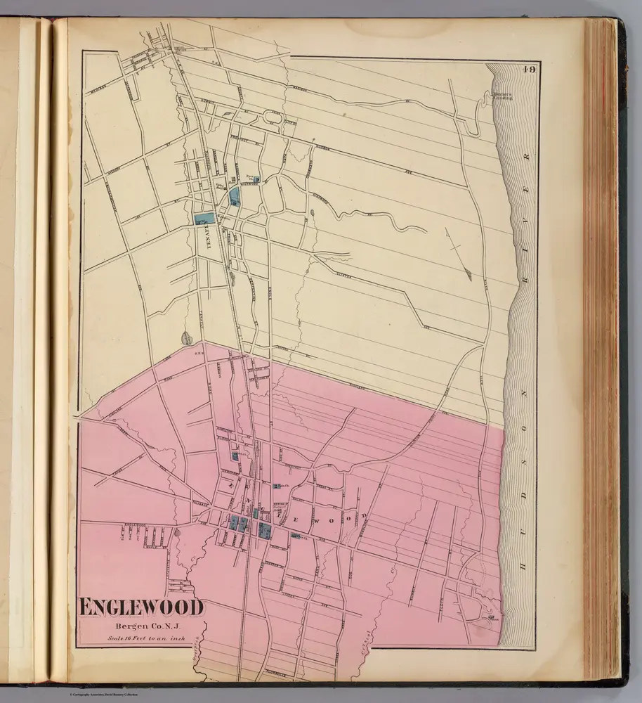
Englewood, N.J.
1872
Beers, F. W. (Frederick W.)
1:20k

